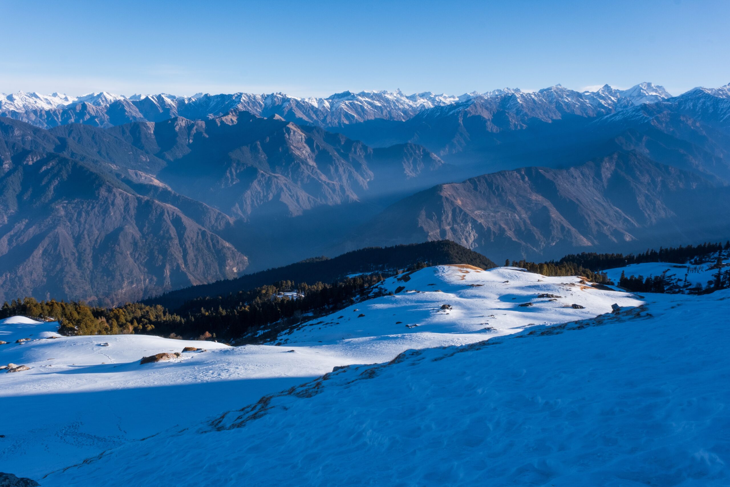
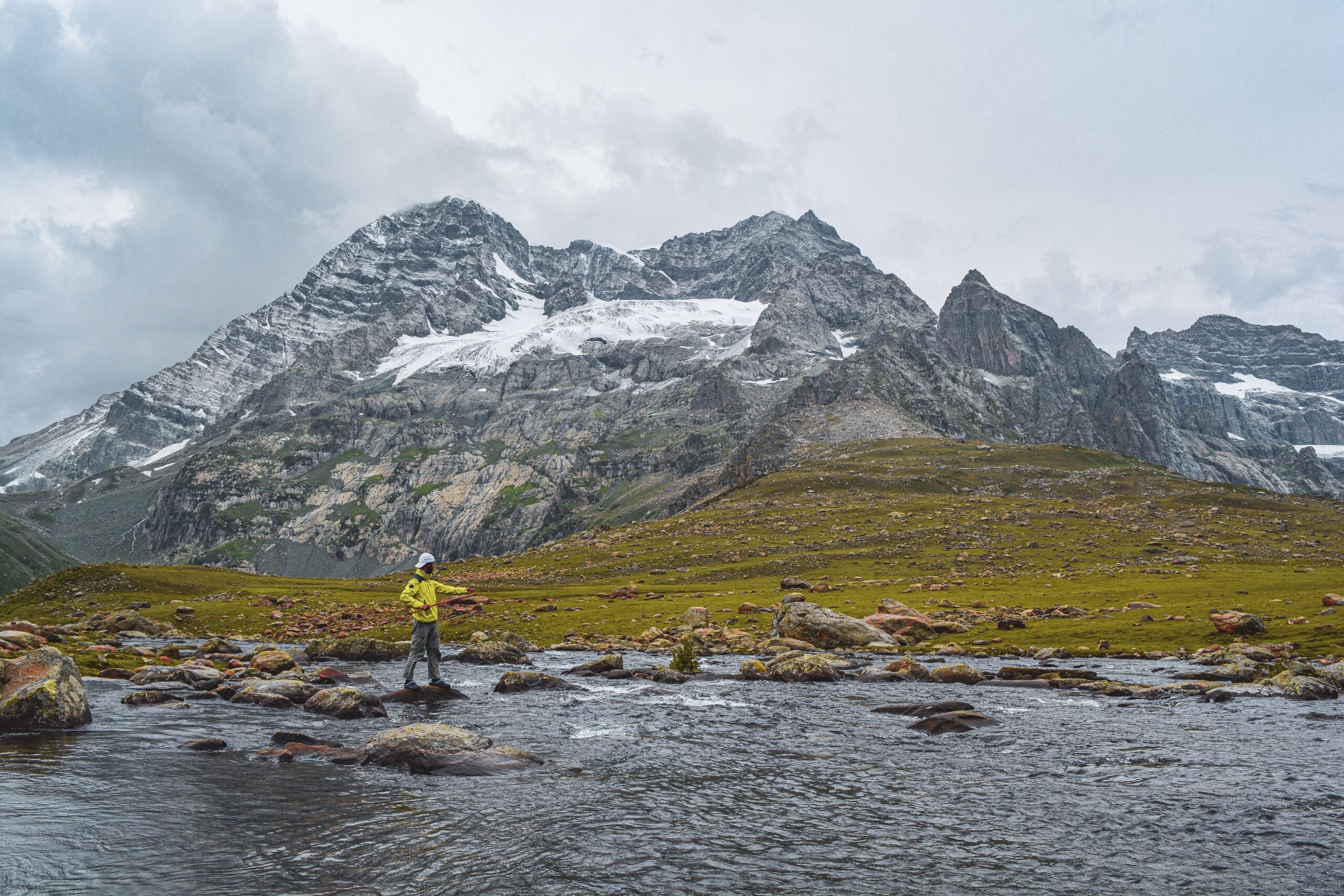
Chandrashila offers a wide view of the Garhwal Himalayas. On a clear day, you may see famous peaks such as Nanda Devi, Trishul, Chaukhamba, Nanda Ghunti, Kedarnath Peak, Kedar Dome and Bandarpunch. You may also spot distant peaks like Kamet, Dunagiri and Thalay Sagar. The summit gives you a chance to see many high mountains from one place.
These mountains are not visible only from Chandrashila. Some can also be seen from other places in the Himalayas. What makes Chandrashila special is the wide mountain view from its summit above Tungnath Temple.

Which Mountains Can You See from Chandrashila?
Most of the well-known peaks seen from Chandrashila are part of the Garhwal Himalayas. Uttarakhand Tourism names Nanda Devi, Bandarpunch, Chaukhamba and Kedar Peak. Its Chopta-Chandrashila trek guide also lists Trishul, Nanda Ghunti, Kamet, Dunagiri, Kedar Dome, Thalay Sagar, the Gangotri ranges and Janhukut.
Here are some of the main peaks you may see on a clear day. Their heights are approximate.
Mountain | Approximate height | How to recognise it |
Nanda Devi | 7,816 m | A tall and famous peak in the Nanda Devi range |
Trishul | 7,120 m | A group of peaks with a shape like a three-part spear |
Chaukhamba | 7,138 m | A wide group of high peaks rising close together |
Nanda Ghunti | 6,309 m | A pointed peak in the Nanda Devi region |
Kedarnath Peak | 6,940 m | A high peak in the western Garhwal Himalayas |
Kedar Dome | 6,831 m | A rounded peak near the Kedarnath group |
Bandarpunch | About 6,316 m | A well-known mountain group in the Garhwal region |
Kamet | 7,756 m | One of the highest peaks in Uttarakhand |
Dunagiri | 7,066 m | A high peak in the Nanda Devi region |
Thalay Sagar | 6,904 m | A sharp peak in the Gangotri mountain group |
Janhukut | About 6,805 m | A high mountain named in the Uttarakhand Tourism trek guide |
1. Nanda Devi
Nanda Devi is the highest mountain located entirely within India, rising to 7,816 metres. It is one of the most famous peaks in the Garhwal Himalayas and holds great importance in Uttarakhand’s culture and history. The mountain has two main summits, Nanda Devi Main and Nanda Devi East.
It is surrounded by the Nanda Devi Sanctuary, a protected high-altitude region known for its rich wildlife and difficult terrain. The peak is part of the Nanda Devi National Park, a UNESCO World Heritage Site. From Chandrashila, Nanda Devi may be visible on clear days, depending on weather and visibility.
2. Trishul
Trishul is a group of three Himalayan peaks in Uttarakhand, named after Lord Shiva’s trident. The highest summit, Trishul I, reaches approximately 7,120 metres. Trishul II and Trishul III stand nearby, creating a striking three-peak formation. The mountain lies in the Kumaon region and is known for its sharp ridges and snow-covered slopes.
It was among the first Himalayan peaks above 7,000 metres to be climbed, with its first ascent recorded in 1907. From Chandrashila, Trishul can be seen on a clear day. Its distinct shape makes it one of the memorable peaks in the surrounding Himalayan panorama.
3. Chaukhamba
Chaukhamba is a group of four mountain summits in the Gangotri region of Uttarakhand. Its name means four pillars, referring to the mountain’s four prominent peaks. Chaukhamba I is the highest, rising to approximately 7,138 metres. The massif stands near the Gangotri Glacier and forms an important part of the Garhwal Himalayas. Its broad, snow-covered face is a striking sight from several viewpoints in the region.
From Chandrashila, Chaukhamba is one of the major peaks that trekkers may spot when the sky is clear. Clouds, haze and seasonal weather can affect how clearly its four summits appear.
4. Nanda Ghunti
Nanda Ghunti is a prominent Himalayan peak in Uttarakhand, rising to approximately 6,309 metres. It stands near the Nanda Devi region and forms part of the Garhwal mountain landscape. Its name is often linked with Nanda Devi, an important mountain in local culture and religious traditions. Nanda Ghunti has a distinctive summit and steep snow-covered slopes that make it stand out among the surrounding peaks.
The mountain is also known among mountaineers for its challenging climbing routes. From Chandrashila, Nanda Ghunti may be visible on a clear day. Its appearance depends on the viewing angle and weather conditions.
5. Kedarnath Peak
Kedarnath Peak rises to approximately 6,940 metres in the Garhwal Himalayas of Uttarakhand. It is located near the Kedarnath region and forms part of the high mountain landscape around the Gangotri range. The peak is known for its steep slopes, rocky sections and snow-covered summit.
It is a challenging mountain for climbers and is not a regular trekking destination. Its name connects it with the wider Kedarnath region, which holds great religious importance. From Chandrashila, Kedarnath Peak may be visible when the weather is clear. It is one of several high Himalayan summits that add depth to the mountain panorama.

6. Kedar Dome
Kedar Dome is a prominent peak in the Gangotri region of Uttarakhand, standing at approximately 6,831 metres. It is located close to the Gangotri Glacier and is surrounded by several high Himalayan summits. The mountain has a broad, dome-shaped summit, which gives it its name.
Although it looks less sharp than some nearby peaks, its height and glaciated slopes make it an impressive sight. Kedar Dome is also a known mountaineering objective, requiring technical skills and proper preparation. From Chandrashila, it may be visible on a clear day, depending on the viewing angle and atmospheric conditions.
7. Bandarpunch
Bandarpunch is a well-known mountain massif in the Garhwal Himalayas of Uttarakhand. Its name means monkey’s tail and is associated with local stories about Lord Hanuman. The massif includes several summits, with Bandarpunch I reaching approximately 6,316 metres. Its snow-covered ridges and broad mountain slopes make it a recognisable feature of the region.
The mountain lies near the Yamunotri area and is an important landmark for trekkers exploring the surrounding valleys. From Chandrashila, Bandarpunch may be visible in clear weather. Its appearance can change with cloud cover, light and the exact position from which you view it.
8. Kamet
Kamet is one of the highest mountains in Uttarakhand, rising to approximately 7,756 metres. It is located in the Chamoli district near the India-Tibet border and forms part of the Zanskar range. The mountain has a broad summit surrounded by steep ridges and glaciers. Its remote location and difficult climbing conditions make it a demanding mountaineering objective.
Kamet was first climbed in 1931 by a British expedition led by Frank Smythe. It is also among the prominent high peaks of the Indian Himalayas. From certain viewpoints along the Kuari Pass region, Kamet may be visible on a clear day.
9. Dunagiri
Dunagiri is a striking Himalayan peak in the Chamoli district of Uttarakhand, rising to approximately 7,066 metres. It is part of the Greater Himalayan range and lies close to the Nanda Devi region. The mountain is known for its steep, rugged slopes and challenging climbing routes.
Its name also appears in Hindu mythology, where the Dronagiri mountain is associated with the story of Hanuman carrying the Sanjeevani herb. The modern peak and the mythological location should not automatically be treated as the same place. From Chandrashila, Dunagiri may be visible when the sky is clear and the surrounding ridges are unobstructed.
10. Thalay Sagar
Thalay Sagar is a dramatic mountain peak in the Gangotri region of Uttarakhand, reaching approximately 6,904 metres. It is famous for its steep rock faces and sharp summit, which make it one of the most recognisable peaks in the area. Unlike broad, rounded Himalayan mountains, Thalay Sagar has a rugged appearance that attracts experienced mountaineers.
Its difficult climbing routes require technical rock and ice skills. The peak stands near the Gangotri Glacier and forms part of a striking group of high mountains. From Chandrashila, Thalay Sagar may be visible in favourable conditions, although haze and clouds can hide distant summits.
11. Janhukut
Janhukut is a high Himalayan peak in Uttarakhand, rising to approximately 6,805 metres. It is part of the Gangotri region’s mountain landscape and stands among several major summits of the Garhwal Himalayas. The peak is less widely known among casual trekkers than mountains such as Chaukhamba or Kedarnath Peak.
However, it is an important name in mountaineering discussions of the region. Its remote setting, steep terrain and high-altitude conditions make climbing it a serious challenge. From Chandrashila, Janhukut may be visible on a clear day, depending on the viewing angle and atmospheric conditions.
When Can You Get the Clearest Mountain Views?
The best chance of seeing the distant peaks is usually on a clear morning. Rain, mist, clouds and haze can hide the mountains. The season makes a difference, but the weather on the day of your trek is just as important.
Season | What to expect |
March to April | Snow may remain on the higher slopes. Clear mornings can offer good views, but the weather can change quickly. |
May to June | Mornings often offer good views. Haze and afternoon clouds may hide distant peaks. |
July to August | Rain, mist and thick clouds often block the mountain view. |
September to November | Clear skies after the monsoon can give you sharp views of distant peaks. |
December to February | Snow-covered mountains look beautiful, and winter skies can be clear. But snow and ice can make the climb difficult. |
Winter is not always a bad time for mountain views. On a clear day, you may get a beautiful view of the snow-covered peaks. The main concern is reaching the summit safely. Check the latest weather and trail conditions before you start.