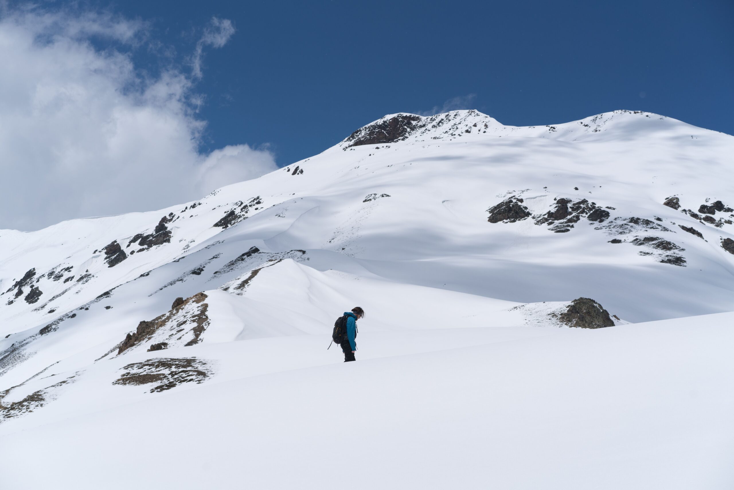
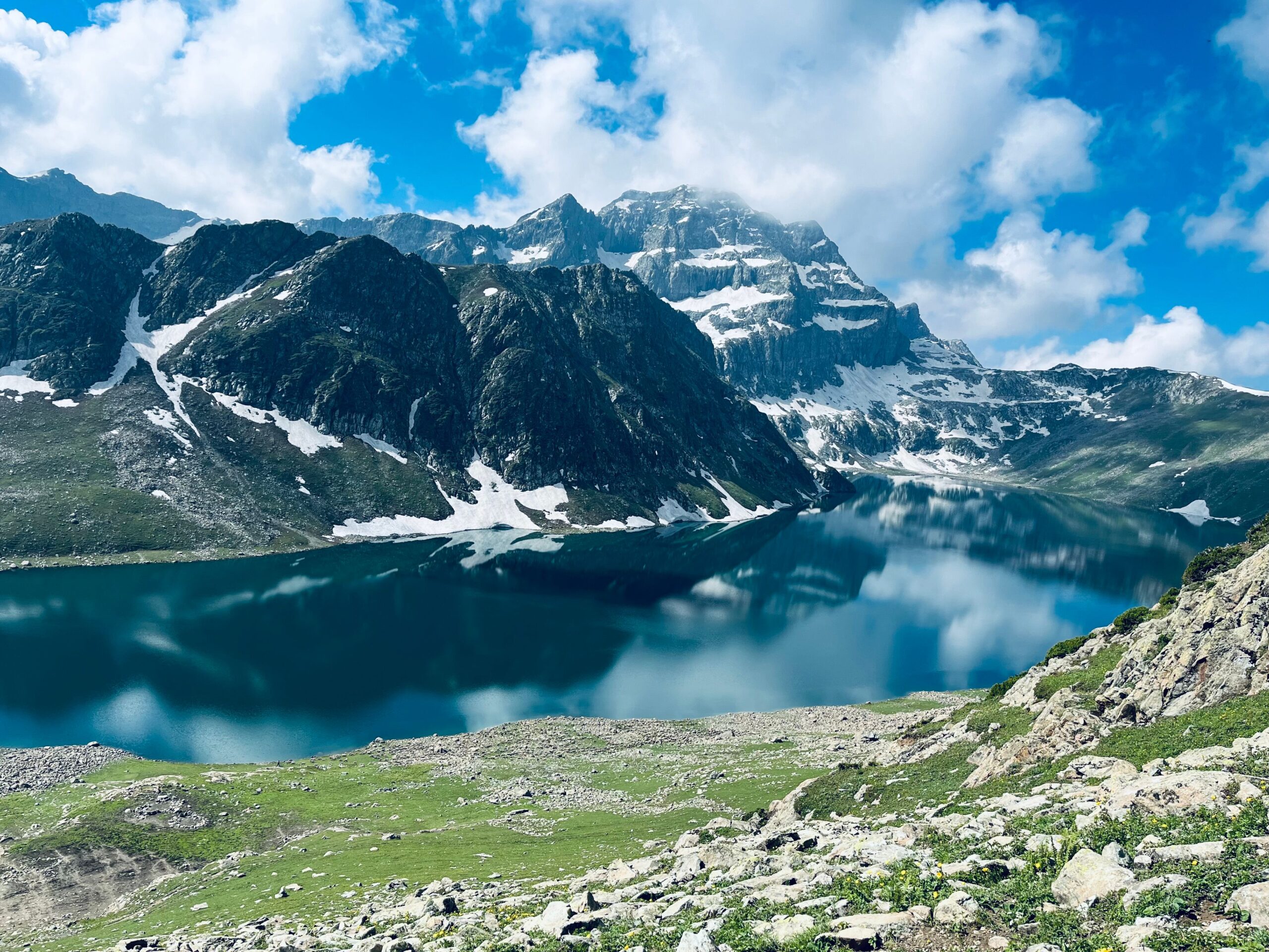
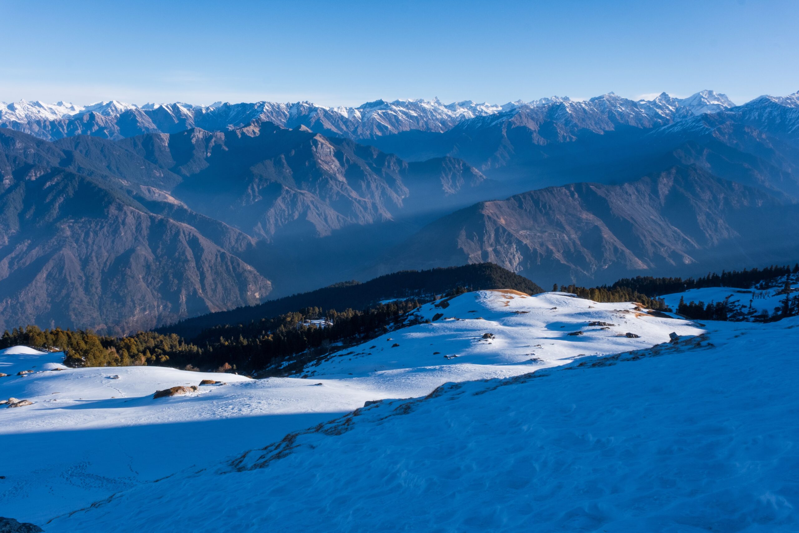
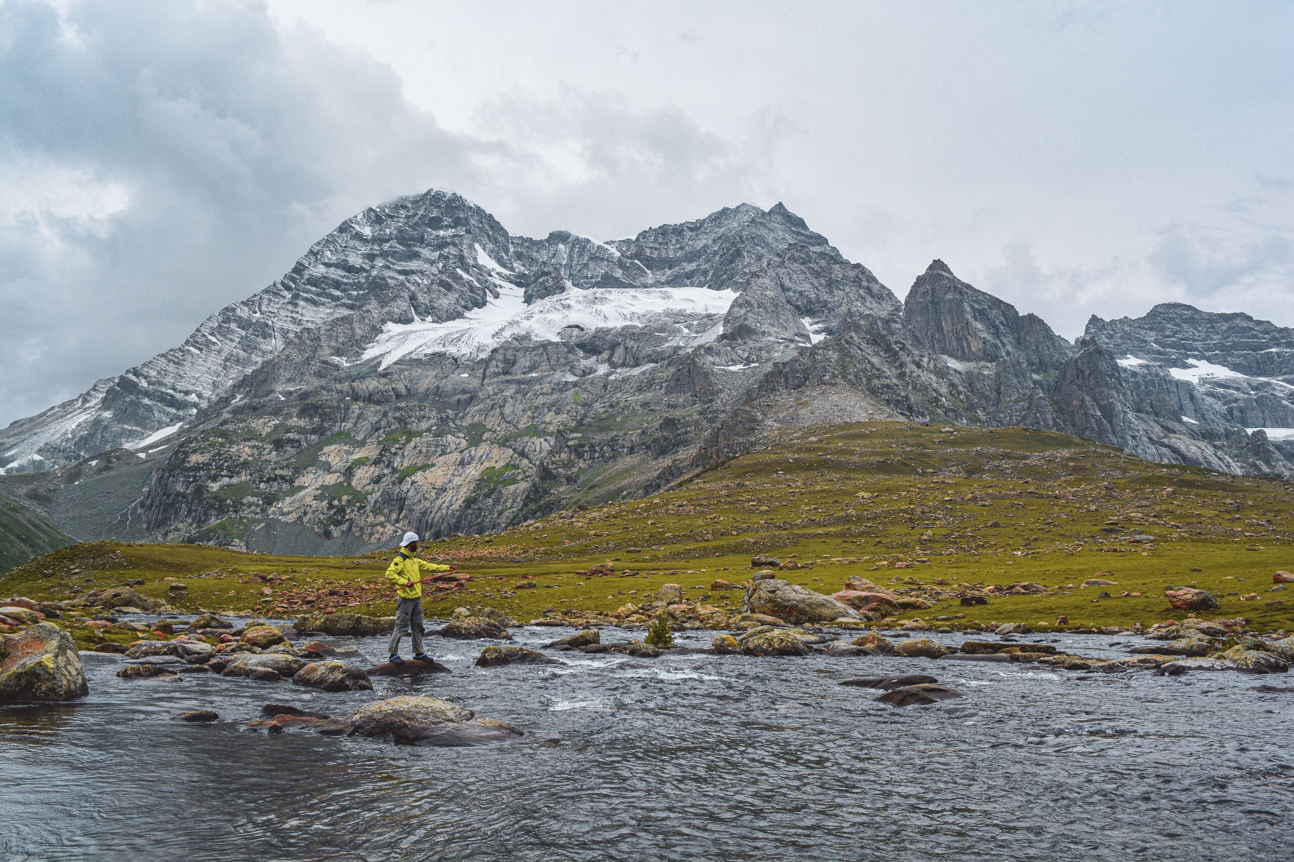
The Har Ki Dun Ruinsara Tal trek is a 9-day journey from Sankri in Uttarkashi, Uttarakhand. It takes you through old mountain villages, forest trails, open meadows, the Har Ki Dun valley and the quiet Ruinsara lake. The route also includes a visit to Maninda Tal if the weather and trail conditions allow.
This trek is longer and more demanding than Har Ki Dun alone. You walk for several days at high altitude, and there are few quick ways to leave the trail if something goes wrong. It is a good choice for fit trekkers who want to explore more of the valley, but it may feel tiring for someone who has never done a multi-day trek.
Har Ki Dun Ruinsara Tal Trek: Quick Facts
Detail | Information |
Location | Uttarkashi, Uttarakhand |
Starting point | Sankri |
Duration | 9 days from Sankri and back |
Trek distance | Around 61 km on one published route |
Highest point | Around 3,800 m, on the Maninda Tal excursion |
Har Ki Dun altitude | Around 3,566 m |
Ruinsara Tal altitude | Around 3,615 m |
Difficulty | Moderate to difficult |
Best seasons | April to June and September to November |
Stay | Guesthouse and designated campsites |
Har Ki Dun Ruinsara Tal Trek Route
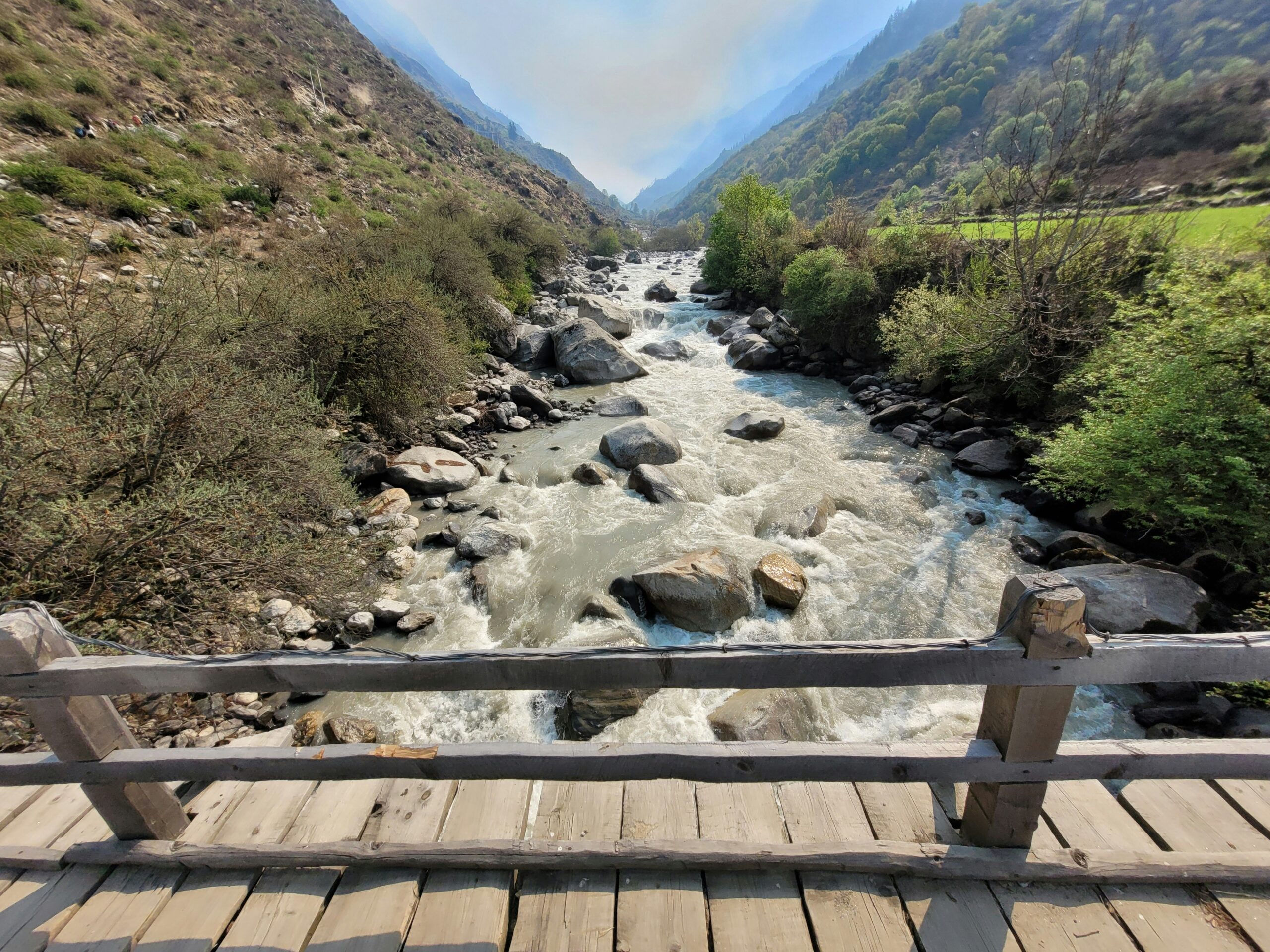
The trek starts at Sankri. From here, you drive to Taluka and follow the Supin river through forest and villages. You pass the Osla and Seema area before climbing towards Kalkati Dhar and Boslo.
Har Ki Dun lies on one side of this trail, while the Ruinsara valley branches away towards the other side. The routes meet in the wider valley system, but they lead to different places. This is why the trek can be planned as a longer circuit instead of returning to Sankri immediately after visiting Har Ki Dun.
The main route is:
Sankri → Taluka → Chillurgad → Boslo → Har Ki Dun → Maninda Tal area → Rainbasera → Ruinsara Tal → Devsu Bugyal → Gangaad → Taluka → Sankri
Osla is an important village on the approach. It is also a useful place to understand the route towards the upper valley. Do not treat it as a simple signposted fork where every trail is easy to follow. Ask your guide to point out the correct route before moving ahead.
Har Ki Dun Ruinsara Tal Trek Itinerary: Day by Day
This plan follows the Chillurgad and Boslo route. Some operators use Seema, Seematra or other camps instead. Those changes affect daily distances and walking hours.
Day | Route and plan | Approx. distance | Camp altitude |
1 | Dehradun to Sankri by road | 190–220 km drive | 1,920 m |
2 | Sankri to Taluka, then trek to Chillurgad | 12 km trek | 2,500 m |
3 | Chillurgad to Boslo via Kalkati Dhar | 10 km | 3,100 m |
4 | Boslo to Har Ki Dun and Maninda Tal area, then return | 8 km | 3,150 m |
5 | Boslo to Rainbasera | 12 km | 3,400 m |
6 | Rainbasera to Ruinsara Tal | 8 km | 3,615 m |
7 | Ruinsara Tal to Devsu Bugyal | 5–6 hours | 2,930 m |
8 | Devsu Bugyal to Taluka, then drive to Sankri | 11 km trek | 1,920 m |
9 | Sankri to Dehradun by road | Around 190–220 km drive | — |
Day 1: Dehradun to Sankri
The first day is a long drive from Dehradun to Sankri. The road passes through Mussoorie, Purola, Mori and Netwar before reaching the village. The distance is often listed between 190 and 220 km because sources and operators use different road routes and starting points.
Keep most of the day free for travel. Reach Sankri, check into your guesthouse and meet your trek team. Buy any small items you may have missed, withdraw cash and charge your phone before the trek begins.
Day 2: Sankri to Chillurgad via Taluka
Drive from Sankri to Taluka, the road head for the trek. From Taluka, walk along the Supin river through forest and small settlements. You pass Gangaad before reaching Chillurgad.
This stage is around 12 km and usually takes 5–6 hours. Chillurgad is at about 2,500 m and is the first camp on this route. Osla village can be seen across the valley from this area.
Day 3: Chillurgad to Boslo via Kalkati Dhar
The trail climbs from Chillurgad towards Seema and then continues towards Kalkati Dhar. This is a more demanding day because you gain height through a long climb. You also pass open slopes and sections of forest.
The distance is around 10 km, and the walk takes about 5–6 hours. Kalkati Dhar is around 3,200 m, while Boslo is roughly 3,100–3,150 m. You stay at Boslo, which is used as the base for the Har Ki Dun and Maninda Tal excursion.

Day 4: Boslo to Har Ki Dun and Maninda Tal
This is one of the main days of the trek. You leave Boslo and walk towards Har Ki Dun, with views of the surrounding peaks and the upper valley. If the weather, time and trail conditions are suitable, the route can continue towards Maninda Tal and the Jaundhar glacier viewpoint.
One published itinerary lists this as an 8 km round trip of around 6 hours, with the highest point near 3,800 m. The actual time can be longer if you explore further or the trail is difficult. Return to Boslo for the night.
Do not rush this section to reach every viewpoint. Your guide should decide how far the group can safely go. Maninda Tal is also called Marinda Tal in some trek material.
Day 5: Boslo to Rainbasera
You leave the Har Ki Dun side and turn towards the Ruinsara valley. The trail crosses a bridge over the Har Ki Dun river and continues through forest and open sections. You will notice a change in the landscape as you move towards the Ruinsara river system.
The walk is around 12 km and takes about 5 hours on the published route. Rainbasera is at roughly 3,400 m. Stay here for the night before continuing towards the lake.
Day 6: Rainbasera to Ruinsara Tal
This section takes you closer to Ruinsara Tal. The trail passes through meadows and the Ruinsara forest area, with river crossings along the way. You reach the lake at around 3,615 m.
One published itinerary gives this walk as 8 km and 3–4 hours. The same itinerary lists an overnight stay at Ruinsara Tal. However, camping rules in the protected area must be followed. Stay only at the campsite approved by the forest department and your registered guide. Do not pitch a tent on the lakeshore or on an open meadow without permission.
Day 7: Ruinsara Tal to Devsu Bugyal
After spending time near the lake, start the descent towards Devsu Bugyal. The trail moves through a mix of open ground, forest and downhill sections. You lose a fair amount of height on this day, so take care on loose or wet ground.
The published itinerary gives a walking time of 5–6 hours. Devsu Bugyal is around 2,930 m and is used as the overnight camp on this route. The exact distance can change with the campsite selected by the trek team.
Day 8: Devsu Bugyal to Sankri
Walk down towards Gangaad and Taluka before taking the road back to Sankri. The published route lists around 11 km of walking, followed by the drive from Taluka. Some other itineraries use different camps and have a longer final walking day.
Reach Sankri, check into your guesthouse and rest. Keep this evening free rather than planning a long onward journey.
Day 9: Sankri to Dehradun
Leave Sankri early for the drive back to Dehradun. The journey can take most of the day, depending on road and traffic conditions. Keep a buffer before booking a train or flight from Dehradun.
Frequently Asked Questions
Is Ruinsara Tal worth adding to the Har Ki Dun trek?
Yes, if you have the fitness and time for a longer trek. Ruinsara adds a high mountain lake and more open valley scenery. It also adds walking days, so the shorter Har Ki Dun route may suit first-time trekkers better.
Can beginners do the Har Ki Dun Ruinsara Tal trek?
A fit beginner may be able to complete it with proper training and a registered guide. However, it is harder than the regular Har Ki Dun trek because of the extra distance and high-altitude days. Beginners who are unsure should start with Har Ki Dun alone.
Can you camp at Har Ki Dun?
Do not plan to camp anywhere you choose in the valley. Forest rules require camping at designated sites, and restrictions apply to camping on alpine meadows. Many itineraries visit Har Ki Dun during the day and return to a permitted camp such as Boslo or Seematra.
Can you camp beside Ruinsara Tal?
Some published itineraries include an overnight stay at Ruinsara Tal. This does not mean tents can be pitched anywhere beside the water. Confirm the approved campsite and current forest rules before the trek.
What is the highest point on the trek?
The route can reach around 3,800 m if the Maninda Tal and Jaundhar viewpoint excursion is included. The exact high point depends on the route and how far the group walks on the excursion.