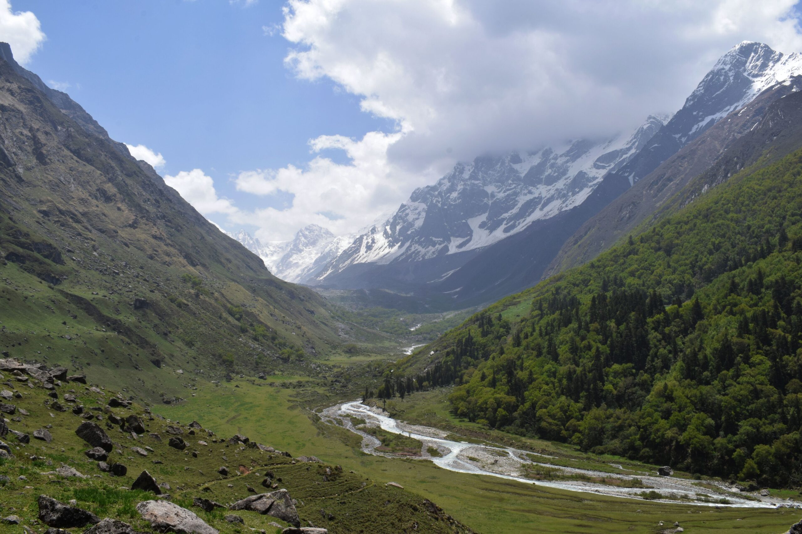
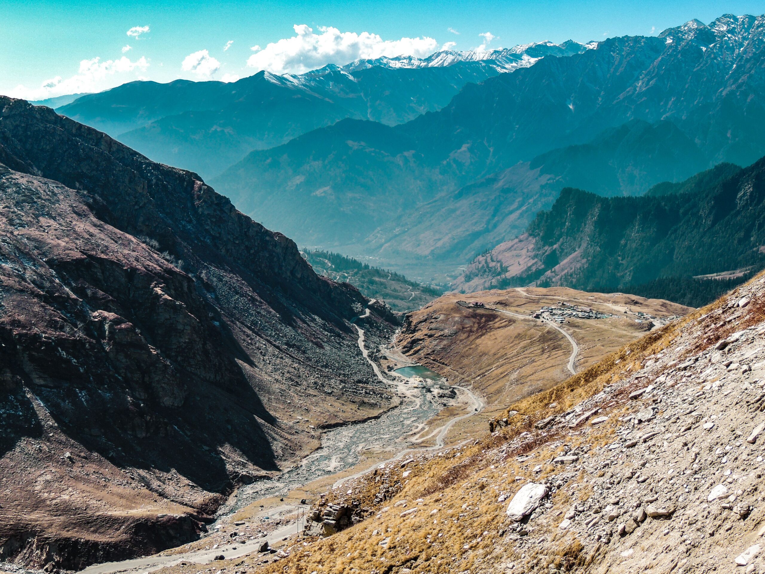
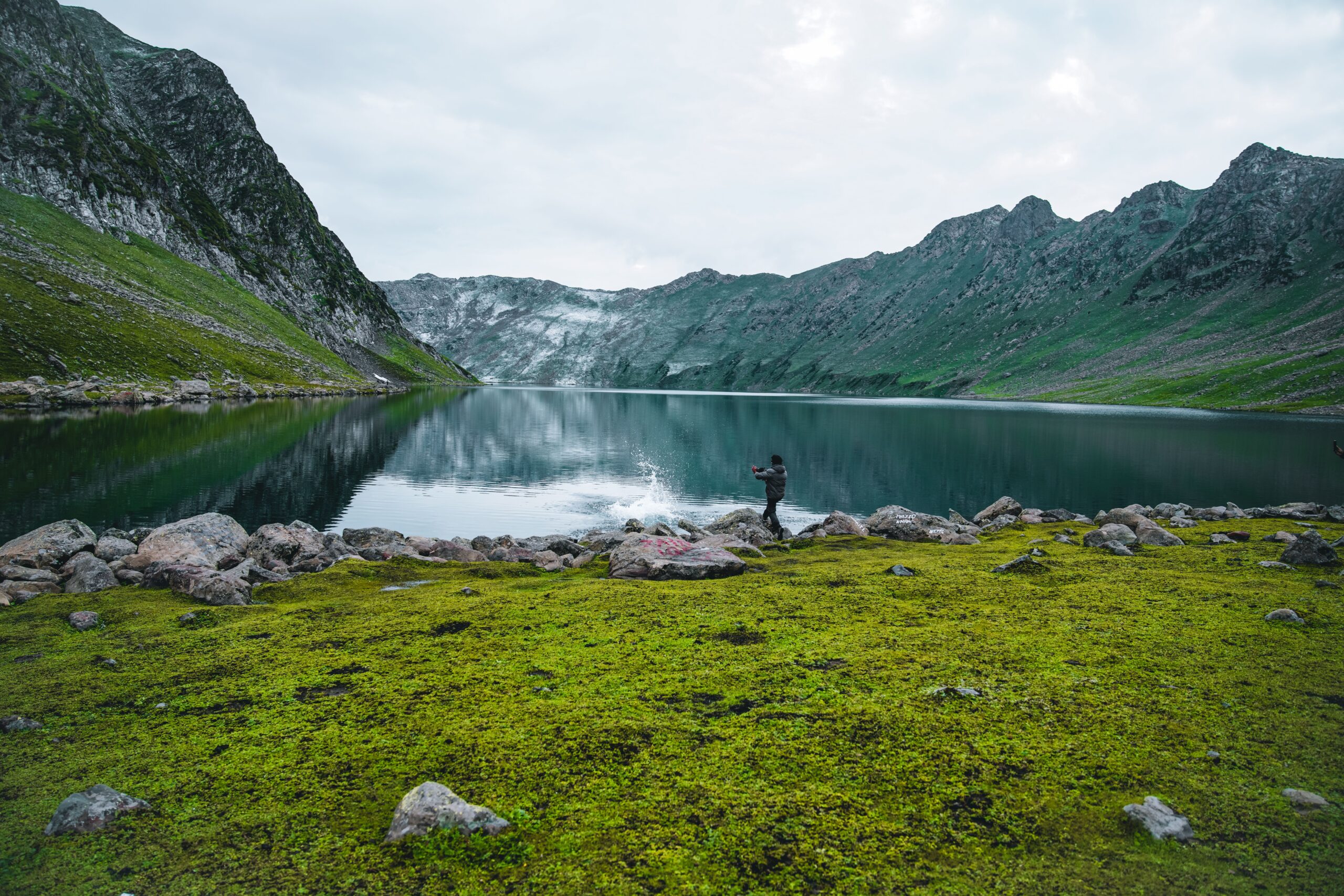
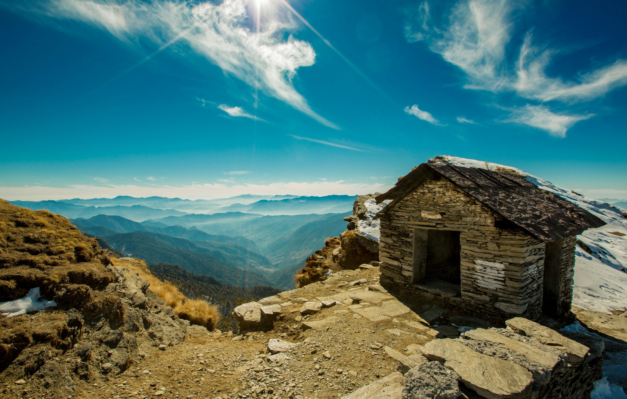
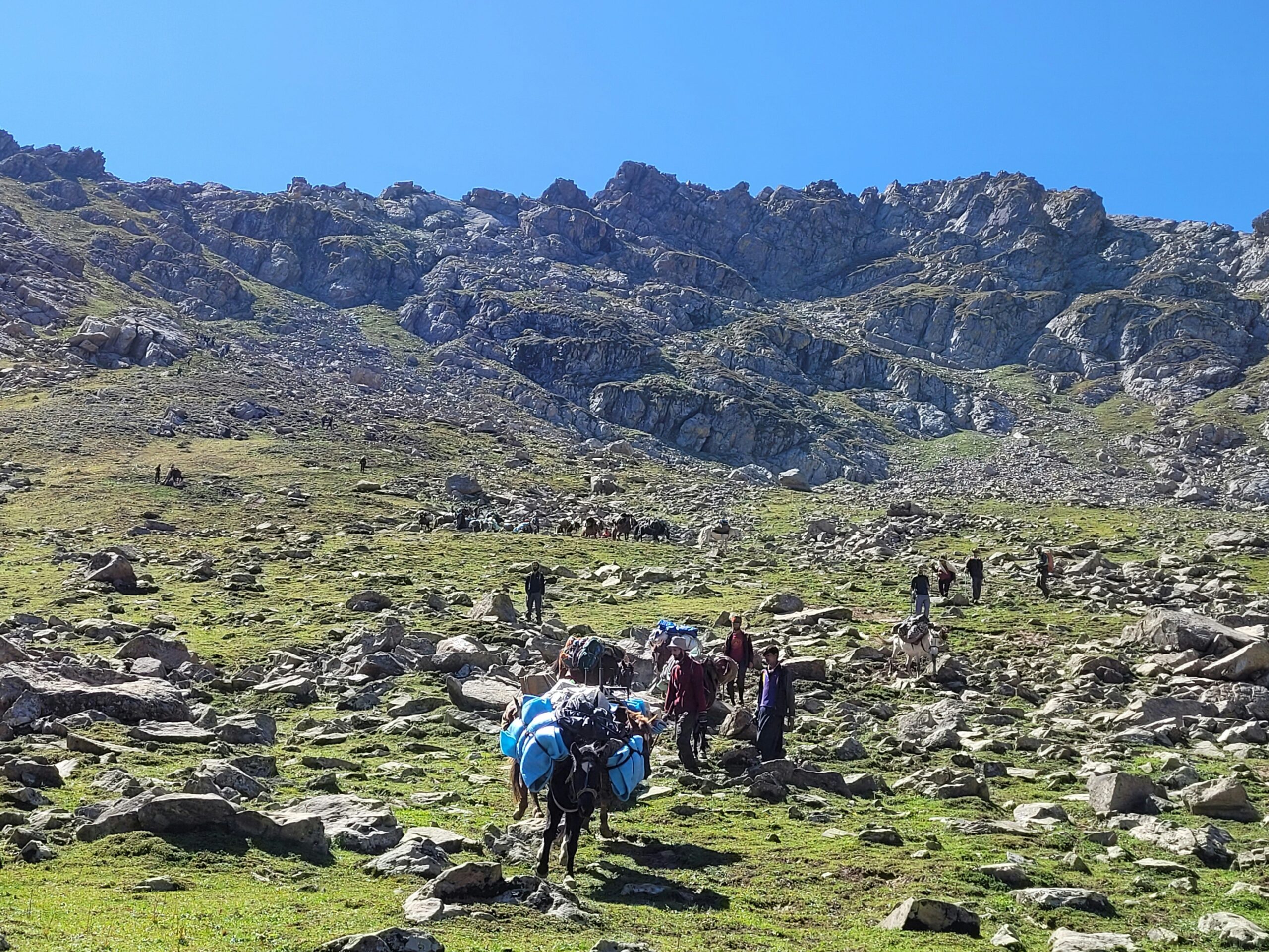
The Kashmir Great Lakes trek map shows the classic route from the Sonamarg area to Naranag, passing through alpine lakes, green meadows and high mountain passes. The full trek is usually planned over eight days, including arrival and other schedule days, with around six days of walking. Published route lengths vary from about 69 km to 74.6 km, depending on the operator and itinerary.
Before using a map to plan your trip, check the camps, daily distances and highest passes. The route reaches around 4,200 metres (13,780 feet) at Gadsar Pass, so the main challenge is not only the distance. You also need to manage steep climbs, long descents, changing weather and river crossings.
Kashmir Great Lakes Trek Map: The Main Route
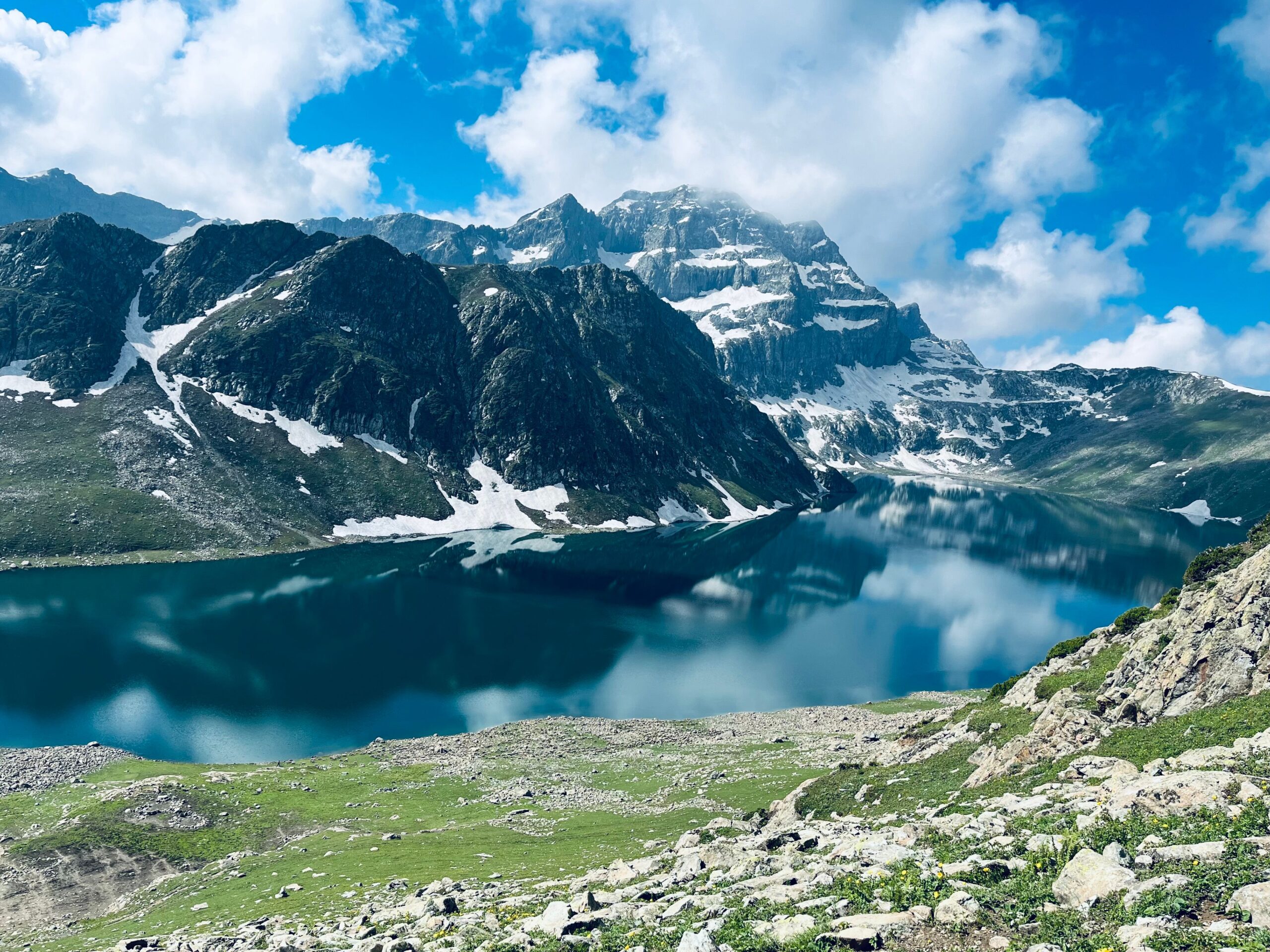
The classic route runs from the Sonamarg area towards Naranag. Along the way, trekkers visit or camp near Nichnai, Vishansar Lake, Gadsar Lake, Satsar and Gangabal Lake. Kishansar and Nundkol are also important lakes along or near the main trail.
The route below is a simple guide to the order of the main places. It is a route sequence, not a surveyed map and not to scale. Use a current map and your trek leader’s instructions for navigation.
Sonamarg / Shitkadi → Nichnai → Nichnai Pass → Vishansar Lake → Gadsar Pass → Gadsar Lake → Satsar → Gangabal and Nundkol → Naranag
The exact camp names and walking stages can change between operators. Some itineraries include a buffer day near Vishansar Lake, and some split or combine sections differently. Check the itinerary supplied for your own departure instead of mixing distances from different trek plans.
Kashmir Great Lakes Trek Elevation Profile
The table gives a broad view of the route’s main elevation changes. The heights below follow the published itinerary figures from Bikat Adventures, rounded to the nearest metre where needed. Camps and passes may be listed at slightly different heights by other sources.
Route point | Approx. elevation |
Sonamarg | 2,730 m / 8,957 ft |
Nichnai campsite | 3,500 m / 11,483 ft |
Nichnai Pass | 4,150 m / 13,615 ft |
Vishansar Lake | 3,658 m / 12,001 ft |
Gadsar Lake | 3,810 m / 12,500 ft |
Gadsar Pass | 4,206 m / 13,799 ft |
Satsar Lake | 3,658 m / 12,001 ft |
Gangabal Lake | 3,505 m / 11,499 ft |
Naranag | 2,271 m / 7,451 ft |
These figures show why the trek can feel hard even when a campsite is lower than the previous one. You may climb to a high pass and then descend for hours to reach the next camp. Your legs and knees have to handle both directions, while your body adjusts to the lower oxygen levels at altitude.
Do not use this table to calculate total ascent or descent. That requires a verified track with elevation data, and the height of each campsite alone is not enough to provide an accurate figure.
Day-Wise Kashmir Great Lakes Trek Route
Trek section | What to expect |
Sonamarg / Shitkadi to Nichnai | A long climb through meadows towards the Nichnai campsite |
Nichnai to Vishansar Lake | A climb over Nichnai Pass, followed by a descent towards the lake |
Vishansar to Gadsar Lake | A major climb over Gadsar Pass, followed by a long descent |
Gadsar to Satsar | Walking across meadows and uneven mountain terrain |
Satsar to Gangabal | A route through high ground towards the Gangabal and Nundkol lakes |
Gangabal to Naranag | A long descent from the alpine area towards the roadhead |
The distance for each section depends on the chosen camp locations and the operator’s route. For example, Bikat lists a 69 km itinerary, while Indiahikes lists 74.6 km. Use the daily distances given by your own operator when planning walking time, food and water needs.
1. Sonamarg or Shitkadi to Nichnai
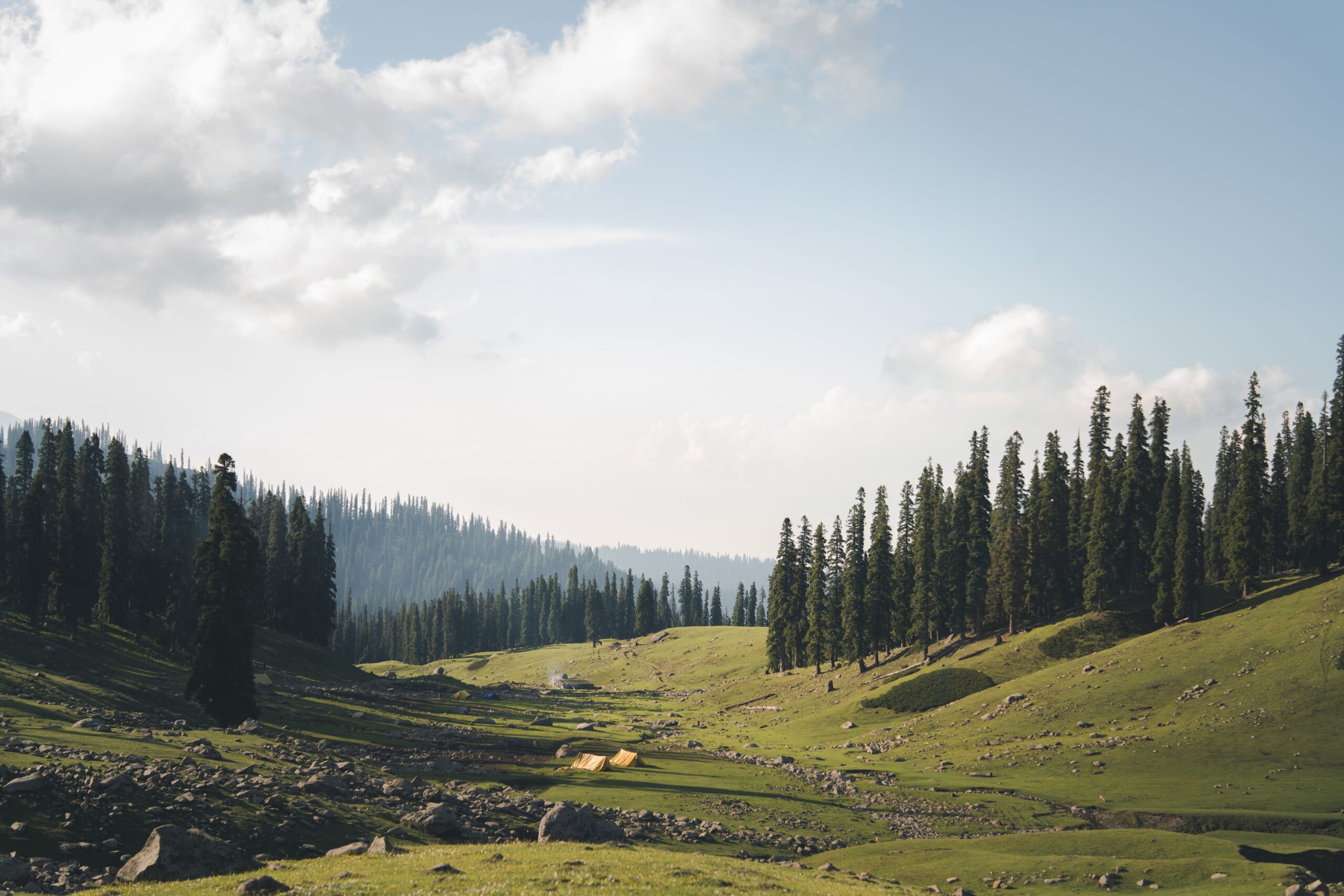
The trek begins in the Sonamarg area, with Shitkadi commonly used as a trail starting point. The path climbs through open meadows and mountain scenery before reaching Nichnai. This first major walking day helps you understand how your body handles the climb and the weight of your backpack.
2. Nichnai to Vishansar Lake
This section climbs towards Nichnai Pass before descending to the Vishansar Lake area. The pass is much higher than the campsite, so the climb can feel demanding. Start early, walk at a steady pace and follow your guide’s instructions around streams and river crossings.
3. Vishansar Lake to Gadsar Lake
This is one of the key sections to study on the Kashmir Great Lakes trek map. The route climbs towards Gadsar Pass, the highest point on many versions of the trek, before descending towards Gadsar Lake. Weather can affect how safe and practical the crossing is, so do not plan to cross independently based only on a map.
4. Gadsar Lake to Satsar
The trail continues through high meadows and uneven ground towards Satsar. The route includes changes in height, even if the day’s highest point is lower than Gadsar Pass. Rain can make the ground slippery, so good footwear and careful steps matter.
5. Satsar to Gangabal and Nundkol
This section takes you towards the Gangabal and Nundkol lake area. Some route descriptions include a high pass on this section, while others describe the stage differently. Check the map and camp plan for your specific operator rather than assuming every group follows identical daily stages.
6. Gangabal to Naranag
The final walking section descends from the alpine lake area towards Naranag. The drop in elevation is substantial, and a long descent can be tiring after several days on the trail. Arrange your return transport in advance and confirm the expected arrival time with your trek leader.
Frequently Asked Questions
How long is the Kashmir Great Lakes trek?
Published routes range from about 69 km to 74.6 km. The exact distance depends on the itinerary and the way the route is measured.
What is the highest point on the KGL trek map?
Gadsar Pass is listed at about 4,206 metres by Bikat Adventures. Other published route descriptions give slightly different figures, so treat the height as approximate.
Can I trek using only a Kashmir Great Lakes GPX file?
No. A GPX file can help you understand a route, but it does not confirm current trail access or safe river crossings. Use verified navigation data alongside a qualified guide, local advice and current conditions.