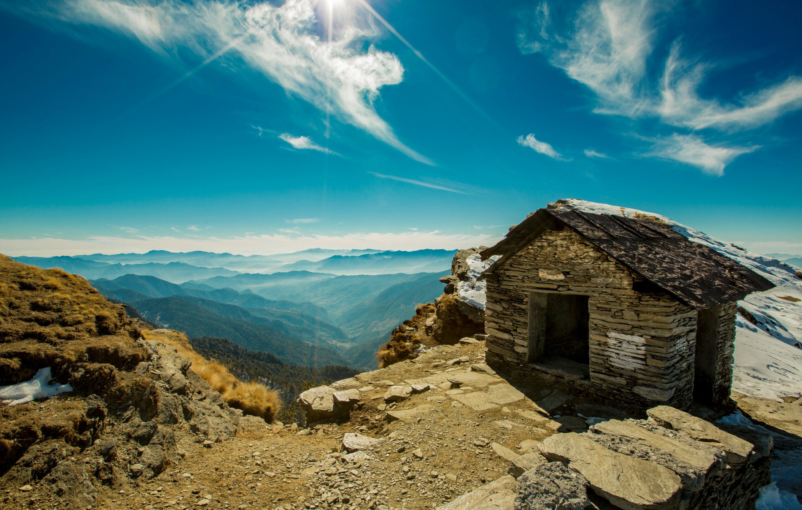
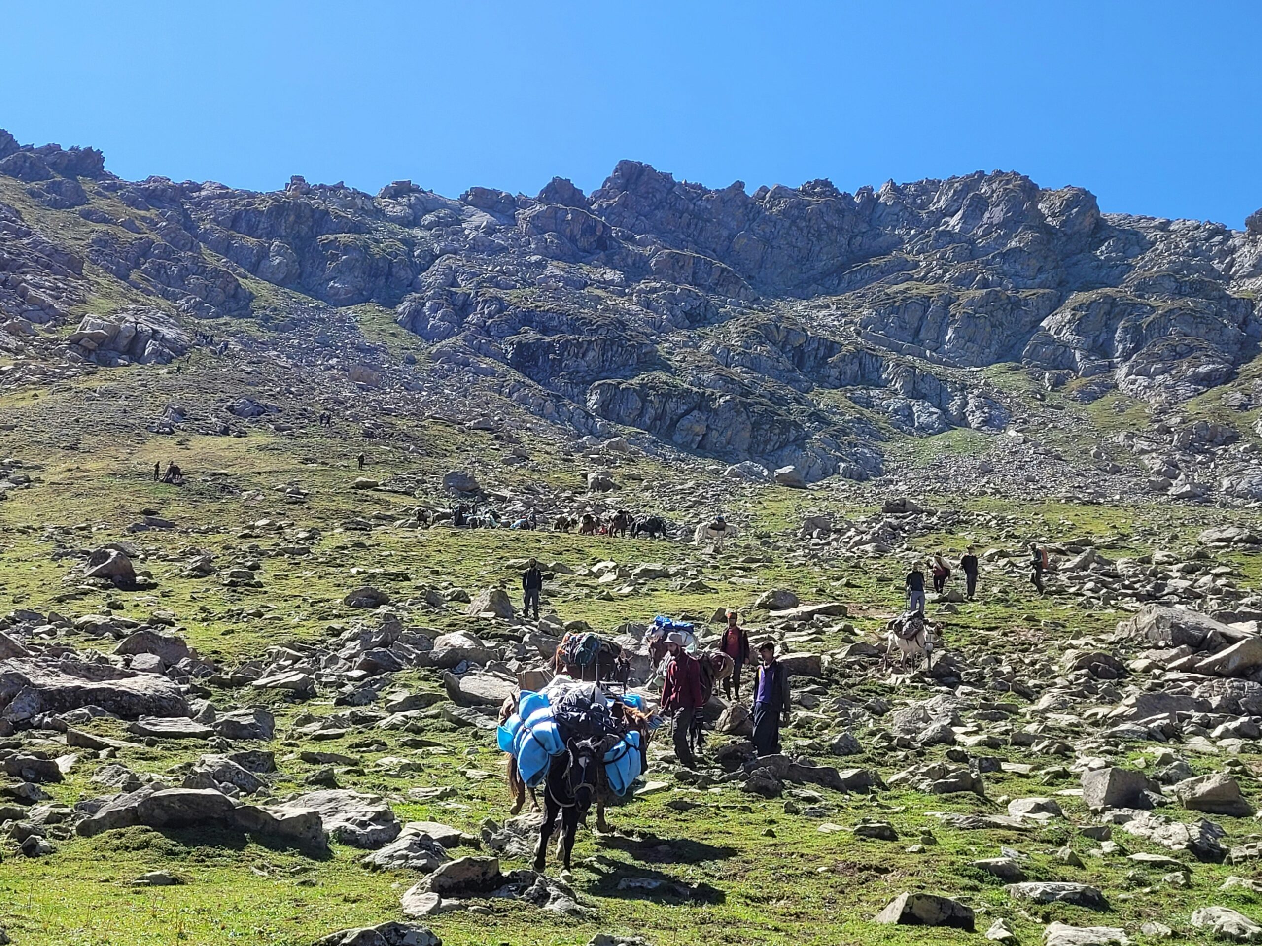
The Tarsar Marsar trek is moderate on some itineraries and moderate to difficult on others, depending on the route, weather and your fitness. A commonly published route covers about 47.6 km over six trekking days, with a high point near 13,165 ft. The main challenges are the Tarsar Pass crossing, the rocky approach towards Marsar and the long final descent from Homwas to Aru.
You do not need technical climbing skills for the standard route, but good stamina and careful footing are essential. Beginners may manage it with proper training and a well-paced group, while trekkers new to high altitude should prepare more seriously.
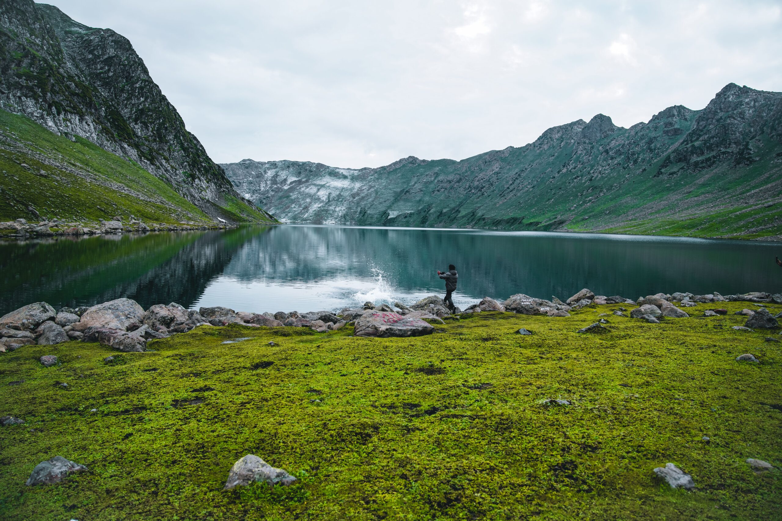
What Is the Tarsar Marsar Trek Difficulty Level?
The tarsar marsar trek difficulty level is not the same across all trekking companies. Indiahikes describes the trek as moderate, while Bikat Adventures gives it Level 4 on its own rating scale and recommends prior high-altitude experience, preferably on Level 3 treks. These ratings use different systems, so they should not be compared as if they were the same score.
The difference matters when you book. A trekker who is comfortable with long walks at low altitude may still struggle with steep climbs, loose stones and several days above 10,000 ft. Your fitness, past experience and the exact itinerary matter more than a single label.
Trek detail | What to expect |
Overall grade | Moderate to moderate-difficult, depending on route and operator |
Common route distance | About 47 to 48 km on the Indiahikes itinerary |
Trekking duration | Six trekking days, usually seven days including arrival and departure logistics |
Highest point | Around 13,165 ft on the cited itinerary |
Main terrain | Meadows, forest paths, rocky ground, streams and mountain passes |
Technical climbing | Not normally needed on the standard route |
Key challenge | Pass crossings, rocky ground, altitude and the long final descent |
The figures above follow one published itinerary, not every route. Some operators use different camps, distances or high points. Check the day-wise plan before you book.
Tarsar Marsar Trek Difficulty: Day-Wise Distance and Altitude
Daily distance gives a clearer picture of the trek than the word moderate alone. The route below follows the published Indiahikes itinerary, with approximate figures that can change with trail conditions and campsite locations.
Trek day | Route | Distance | Approx. altitude change | Main challenge |
Day 1 | Aru to Lidderwat | 10 km | 7,960 to 9,120 ft | Long walk through the valley |
Day 2 | Lidderwat to Shekwas | 5.6 km | 9,120 to 11,035 ft | Sustained uphill climb |
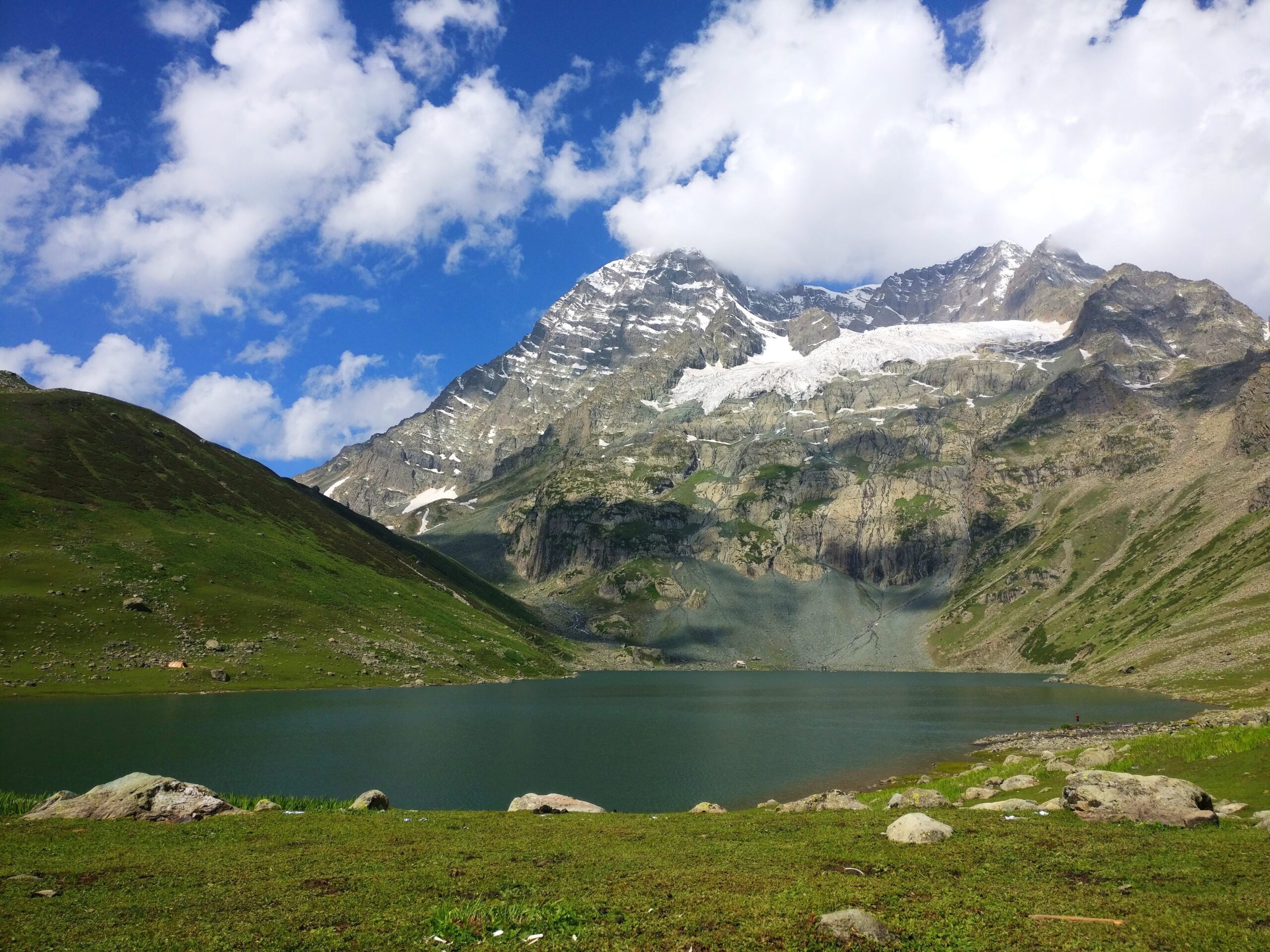
Day 3 | Shekwas to Tarsar Lake | 5 km | 11,035 to 12,435 ft | Steady climb towards the lake |
Day 4 | Tarsar to Sundarsar via Tarsar Pass | 5 km | 12,435 to 12,945 ft, via 13,140 ft | Steep pass ascent and rocky descent |
Day 5 | Sundarsar to Homwas via Marsar | 9 km | 12,945 to 11,300 ft, via 13,165 ft | Rocky terrain and long walking hours |
Day 6 | Homwas to Aru | 13 km | 11,300 to 7,960 ft | Long downhill walk |
The first and last trekking days are the longest in this itinerary. The middle days cover less ground, but they include sustained climbs and high-altitude sections. A shorter distance does not always mean an easier day.
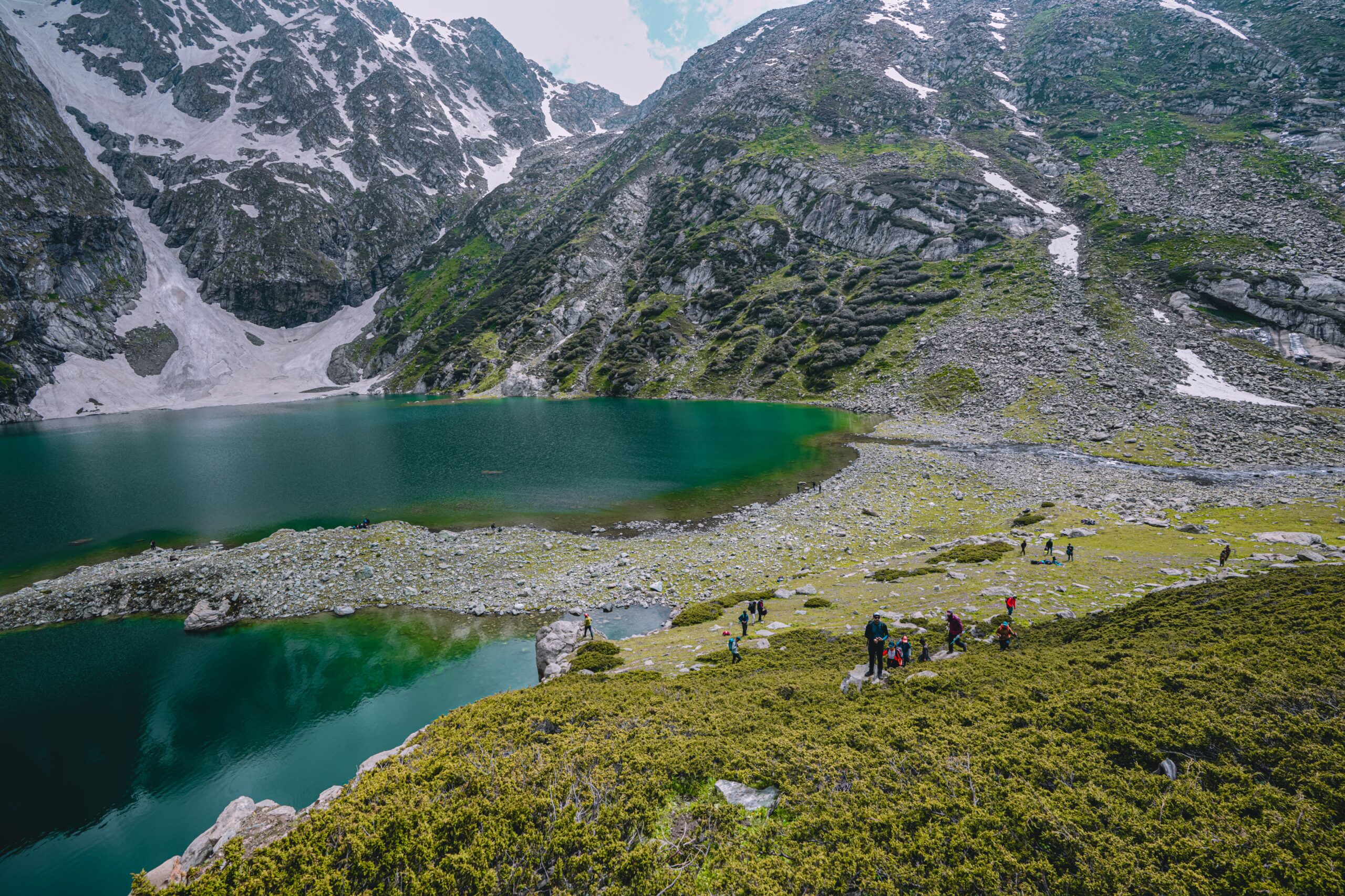
Which Sections Are the Hardest?
1. Aru to Lidderwat: The long first walk
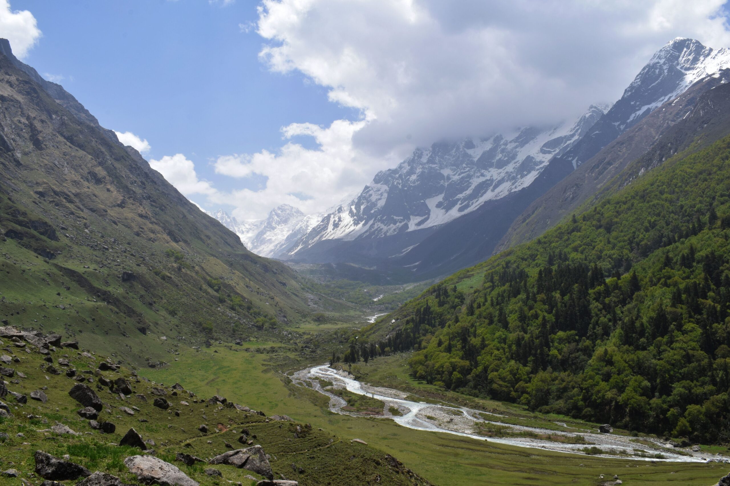
The trek begins with a roughly 10 km walk through the Lidder Valley. The path has gentle ups and downs, with forest stretches and open meadows. The climb is not the steepest part of the trek, but the distance can tire people who arrive without training.
Keep your pace steady from the start. Do not use all your energy trying to keep up with the fastest person in the group.
2. Lidderwat to Shekwas: The steady climb
This section gains around 1,900 ft over roughly 5.6 km on the cited itinerary. Much of the route climbs for the first few hours, with short level stretches along the way. You may also cross a river near Homwas, depending on the route and conditions.
This is where your leg strength and breathing control begin to matter. Take small steps, drink water regularly and pause when needed.
3. Tarsar Pass and Jagmargi Meadows
The crossing from Tarsar towards Sundarsar is one of the key sections to understand before you go. You climb towards Tarsar Pass, cross the high point and descend into the meadows around Jagmargi before continuing towards Sundarsar.
The descent can include loose stones and uneven ground. Rain can make rocks slippery, while snow early in the season can make the route harder to follow and cross. Do not rush downhill simply because the steep climb is over.
Two trekking poles can help with balance and reduce some of the load on your knees. They are especially useful on loose ground and long descents, but they do not make an unsafe crossing safe.
4. Sundarsar towards Marsar
The route from Sundarsar towards the Marsar viewpoint can involve boulders and a high pass or col, depending on the itinerary. Snow on the rocks can make footing harder, especially early in the season. This section needs more care than a smooth meadow trail.
Follow your trek leader’s route and do not try to reach a lake or viewpoint if the team decides conditions are unsafe. You do not need to take extra risks to prove that you have completed the trek.
5. Homwas to Aru: The long final descent
The final day covers about 13 km, dropping from roughly 11,300 ft to 7,960 ft on the cited route. Although the trail is mainly downhill, it can be tiring after several days of walking. Repeated downhill steps place strain on your knees, ankles and feet.
Use your trekking poles, keep your steps controlled and take short breaks before your legs become shaky. A long descent can be harder on tired knees than a gradual climb.
How Does the Season Affect Trek Difficulty?
Weather can change how difficult the same trail feels. A route that is manageable on a dry day may become slippery in rain or harder to cross when snow covers rocks and trail markers.
- June: Snow may remain near high passes and rocky sections. Crossings can be harder, so follow the guide’s daily assessment.
- July: Snow often retreats as the season progresses, but conditions vary. Wet ground and stream levels still need attention.
- August: Meadows are often lush and full of flowers. Rain can make boulders, paths and stream crossings more challenging.
- September: Clear spells can offer good views, but nights grow colder and late-season weather may change quickly.
These are general patterns, not a forecast for a specific year. Ask the operator about recent trail conditions before departure, and do not assume that a month guarantees snow-free or dry ground.
Frequently Asked Questions
What is the tarsar marsar trek difficulty level for beginners?
It can be manageable for fit beginners who train in advance, but it is not an easy walk. The pass crossings, high altitude and long final descent require stamina and careful footing. Those new to high-altitude trekking should choose their operator and itinerary carefully.
What is the hardest day of the trek?
The pass crossing towards Sundarsar and the rocky section towards the Marsar viewpoint are key challenges. The final 13 km descent to Aru can also be tiring, especially if your knees or feet are already sore.